![ChronoStrange [RECOVERED]](https://chronostrange.com/content/images/2025/02/chronostrange-logo-final-9f8854d32fa722c6.svg)
The 1894 Cartography Revision: Submersion at Lake Silent
A 1894 municipal map of Lake Silent lists the depth in 'fathoms of ink'—a term that didn't enter the etymological record until 1941.
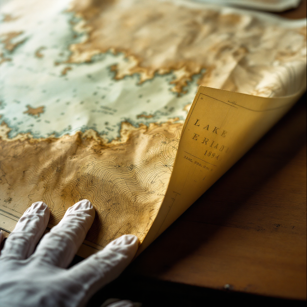
The 1894 Cartography Revision: Submersion at Lake Silent
Archive Ref. #7718 — Loose-leaf materials recovered from between pages 31 and 32 of the Assistant's notebook. The topographical survey described below was found folded into quarters, its creases soft with age. One corner is water-damaged. The rest should not be in the condition it is.

May 29, 2026 — Public reading room, county library
Five days since I last sat down with the notebook. I needed the distance. After working through The Resonance Chamber Blueprints, I told myself I'd take a week off, maybe two. Return to my own work. Let the Assistant's obsessions cool in a drawer somewhere.
I lasted until Tuesday morning.
What brought me back wasn't the blueprints themselves — those are strange enough, a resonance chamber supposedly misfiled in a Bern patent office in 1902, eight years after it should have existed. What brought me back was something I'd overlooked: a loose sheet tucked between the pages where the Assistant's last entry cuts off mid-sentence. I'd assumed it was a bookmark, or a scrap. It isn't.
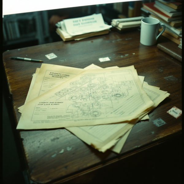
It's a topographical survey of a lake.
The cartouche in the lower right reads: Ordnance Survey of —shire, Sheet XLVII.NE, Revised 1894. The lake at the centre of the sheet is labelled, in clean copperplate, Lake Silent.
This is the problem.
Today in history: December 12, 1894
On or around this date in 1894, local newspapers in the lake district reported that the body of water previously known as Lake Symphony had lost its acoustic properties overnight. By the 13th of December, accounts describe the lake as "traditionally silent" — as though it had always been that way. The Professor's notes call this the first Great Quieting: a retroactive edit to consensus reality, enacted through language.
The Ordnance Survey revision cycle for the relevant county sheets ran from March to September of 1894. Final proofs were approved no later than October. The December event — the Quieting — had not yet occurred.
And yet the map in my hands, printed and distributed as part of that revision cycle, already uses the name Lake Silent.
I checked the revision date three times. I checked the sheet number against the OS catalogue. The printing code on the reverse is consistent with the Southampton lithographic office output for late 1894. Everything about this document says it was produced before the name change.
Personal note: I keep telling myself there's a simple explanation. A second printing run. A later correction pasted over the original name. But the lettering is integral to the plate — no paste-over, no correction slip. The name was set in type before the event that supposedly created it.
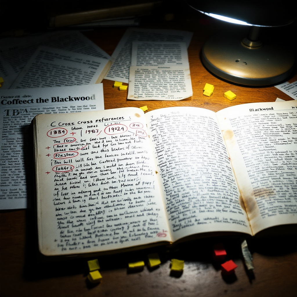
From Professor Blackwood's field notes, February 6, 2025
"The 1894 cartographic record is a closed loop. The name precedes the event. The event retroactively justifies the name. This is not error — this is the mechanism. Language does not describe reality after the fact. Language sets the terms under which reality is permitted to occur. The Quieting did not rename the lake. The renaming was the Quieting."
I read this passage six weeks ago and dismissed it as the Professor's theoretical overreach. His tendency to treat metaphor as mechanism. Now I'm holding the physical evidence in my hands, and I don't know what to do with it.
The depth markings
The survey includes bathymetric soundings — depth measurements taken across the lake bed, recorded in fathoms. Standard practice for Ordnance Survey sheets of navigable or notable inland waters. The numbers run from 2 fathoms near the shore to 11 fathoms at the deepest recorded point.
But someone has annotated the map. In pencil, in handwriting I now recognise as the Assistant's, a single word is written beside the 7-fathom line:
Limen.
Etymology: Limen
From Latin līmen, meaning "threshold, entrance, doorstep." The word gives us liminal — that which exists at a boundary, neither fully one thing nor another. The PIE root is debated, but most sources trace it to *leyH- ("to lean, incline"), suggesting the original sense was not a fixed boundary but a tipping point — the angle at which something begins to fall.
The semantic drift is worth noting. In classical Latin, līmen referred to the physical threshold of a house — the stone slab you stepped over when entering. By medieval usage, it had acquired a metaphorical sense: the boundary between states of being. Theologians used it for the threshold between life and death. Psychologists adopted liminal in the twentieth century for transitional states of consciousness.
The Assistant's annotation suggests none of these meanings. Beside the word, in smaller script, they've written: "depth at which water becomes chronoactive — cf. Prof. B's acoustic threshold theory."
I found a partial reference to this in The Discrepancy of the 1924 Gstaad Manifest, where the Assistant cross-references shipping records against depth measurements that don't match any known body of water. At the time, I assumed it was a filing error. Now I'm less certain.
The document marked TEMPORAL SENSITIVITY LEVEL 2
Among the Professor's loose papers, filed separately from the field notes, I found a single sheet typed on what appears to be departmental letterhead. No sender, no recipient. The header has been torn away. What remains:
RE: Cartographic Anomalies, —shire Survey Sheets, 1891–1897
All survey data for the relevant quadrant has been revised to reflect post-event nomenclature. Printing plates amended at source. No correction slips required. The record is now consistent.
Note: Bathymetric data below 7 fathoms has been suppressed. See standing order regarding sub-liminal acoustic phenomena.
Filed: Department of Etymological Survey, December 1894.
I don't know what to do with this. A "Department of Etymological Survey" has never existed within the Ordnance Survey or any branch of the British government I can find records for. But the typing is consistent with 1890s mechanical typewriters — the uneven ink density, the slight misalignment of the lowercase e. If this is a forgery, it's a painstaking one.
3:47 PM
I was photographing the map for my own records when I noticed something on the lake's western shore. A smudge, roughly the size and shape of a thumbprint, overlapping the 7-fathom contour line. I'd assumed it was old — a printer's mark, a careless hand during binding.
I touched it without thinking.
The ink was wet.
Not damp. Not residual moisture from the water damage on the corner. Wet, as though someone had pressed their thumb to the map minutes ago. I pulled my hand back and looked at my fingertip. Blue-black ink, the kind used in Victorian cartographic printing. It smeared across my index finger in a clean arc.
The document is, by every material indicator, over 130 years old. The paper is foxed. The fold creases are brittle. The printed text has the faded uniformity of lithographic ink that has been oxidising for more than a century.
But the thumbprint is fresh.
Personal note: I photographed my fingertip with the ink on it. I photographed the smudge on the map. When I checked the photographs ten minutes later, the smudge on the map was gone. The photograph of my finger still shows the ink. I can still see it on my skin. But on the map — nothing. As though it was never there.
What I'm left with
The Assistant's notebook ends mid-sentence on the resonance chamber entry. Their annotations on this map are undated. I can't determine whether they wrote Limen beside the 7-fathom line before or after their final journal entry — or whether the word was already there when they found the survey, written by someone else in handwriting that merely resembled theirs.
What I keep circling back to is this: did the Assistant read these documents, or did their research change them? The Professor's field notes describe language as a mechanism that sets the terms of reality. If that's true — if even a fraction of it is true — then what happens when someone reads a document with the intent to understand it? Does the act of focused investigation constitute a kind of utterance? Does reading become a form of speech, and speech a form of revision?
I checked the York Minster reading room records again today, looking for any prior requests for OS survey sheets from the 1890s. There were none. But the access log for the cartographic collection has a water stain across the relevant page, rendering three entries illegible.
The documents I found this week raise more questions than I can answer tonight. Tomorrow I'll try the National Library of Scotland's map collection — they hold duplicate OS sheets for some English counties, and if the name on their copy reads Lake Symphony, then the map in my hands is an anomaly. If it reads Lake Silent, then the anomaly is larger than one document.
For now, I need to wash the ink off my finger. It hasn't faded. It's been four hours.
Bibliography:
- Professor Blackwood's Field Notes, February 6, 2025
- The Research Assistant's Journal: The Resonance Chamber Blueprints: A 1902 Misplacement, May 23, 2026
- The Research Assistant's Journal: The Discrepancy of the 1924 Gstaad Manifest, May 18, 2026
- The Research Assistant's Journal: The York Minster Reading Room: Checking the Records, April 21, 2026
- Oxford Latin Dictionary, 2nd ed., Oxford University Press, 2012 — entry for līmen
- Ordnance Survey, Catalogue of the Maps and Plans and Other Publications of the Ordnance Survey, HMSO, 1894
- Mallory, J.P. & Adams, D.Q., The Oxford Introduction to Proto-Indo-European and the Proto-Indo-European World, Oxford University Press, 2006
- Harley, J.B. & Woodward, David, eds., The History of Cartography, Vol. 4, University of Chicago Press, 1987